Canaria info forside billede tekst

Hiking Route 5.  Tenteniguada - Valsequillo

hiking5Starting point:
Tenteniguada Altitude: 801 m
Destination:
Valsequillo Altitude: 538 m
Total Distance: 3060 m
Time to cover the Route: 50-60 minutes
Direction of the Route: W-E
Net Difference in Altitude: 237 m
Difficulty rating: Low

tur5 2

logo turisticoThis route is of huge cultural and ethnographic importance, as it has historically communicated the two main centres in the municipality. A glance at the cobbles on the footpath leading down to the bed of the Teneteniguada ravine enables us to observe an excellent job by the masons, which is also very well preserved. Local people gave this footpath two names, which take us back to the past: “Camino de las Casas” (Path of the Houses) or “Camino de los Médicos” (Path of the Doctors).
We start from point: P0 Start along a paved section that crosses the town of Tenteniguada. This path is the stage of the annual “Almond Festivity”. After 250 m, the first stop is the church of San Juan Bautista (Saint John the Baptist) (Image F2) and the square of the same name, point: P1 San Juan Square. This is the site of the patron saint’s festivities every 24th June. The temple is recent, from the early twentieth century: it was consecrated by Bishop Marquina in 1917, coinciding with the Saint John festivities of that year. The most interesting aspect of the Church is an image in the sixteenth century Castilian style, known as “San Juan el Chico”, representing the Baptist as a child.

We now leave the town and after walking 260 m, we will be able to see the Tenteniguada Ravine from an agricultural area, point: P2 Tenteniguada Palm Grove, with the Tenteniguada erosive Caldera forming a scenic background. This Palm grove of Phoenix canariensis (Canary Isand palm) is proof of the area’s thermophilic environment, with a curious mixture of other species such as wild olives (Olea europea cerasiformis); but also with a large presence of almond trees (Prunus amygdalus) colouring the landscape when they bloom in February.

At the end of this section, after 550 m, we shall come to several hamlets with buildings of ethnographic value. This area is known as “el Lindón cerca de las Casillas”, point: P3 Lindón hamlet.
After a further 300 m along the paved road, we shall come to a footpath on the right that will take us to the bed of the Teneteniguada Ravine, point: P4 Footpath, (Image F1) which leads us toward the bed of the Tenteniguada Ravine.
This section commences with a view of most of the geological formations of Valsequillo, such as the monolithic plug of mount El Helechal, from the late Roque Nublo Cycle, where it is believed that a native sanctuary or “almogarén” existed and, next to this, a much more recent volcanic cone called Caldereta.
The path continues bordering the edge of the ravine, while we can enjoy the view of endemic plant species, such as “espárrago llorón” (Asparagus plocamoides), or of local bird species like the common buzzard (Buteo buteo insularum) and a wide range of invertebrates.
We can see also some bee hives (that suggest the name of the next main town).

The footpath turns downhill and, after 800 m, reaches point: P5 Bed of the ravine, near a surface water pipe that crosses the ravine. The thermophilic vegetation has been replaced by species that require a more humid habitat. There is also a strong presence of eucalyptus trees that provide shade to travellers. The eucalyptus tree is controversial; of Australian origin, it was introduced precisely in order to provide shade on the roads, from where it has spread all over the island.

The route runs along the bed of the ravine for about 420 m, leaving Colmenar Alto neighbourhood on the right until we pass under San Miguel Bridge, point P6 San Miguel bridge. (Image F3). This is a stone and lime bridge with two arches measuring 13 metres high, 7 metres wide and 34 metres long.
We can divert to the right side of the ravine to observe a hydraulic mechanism known as the mill of the Perez (also called the San Miguel Bridge, Conchita or Colmenar mill). The water that powered the mill was also used by laundresses to wash clothes.
We shall continue along the bed of the San Miguel Ravine, where we can enjoy a level of biodiversity regarding flora and fauna with endemic species that are exclusive to Gran Canaria.

We shall leave the bed of the ravine to head towards the Colmenar Bajo area, where we will come across rural architectural constructions of great ethnographic interest. About 270 metres from the bridge is one of the most outstanding buildings in Valsequillo from a historical point of view. This is point: P7 El Colmenar barracks (Image F4).
The original building dates from the sixteenth century (1530), and was used by a detachment of cavalry. This military complex consists of a number of buildings that remained in use by the military as a residence until the early twentieth century. Moreover, Second Lieutenant Antonio Pérez Gutiérrez, grandfather of the author Benito Pérez Galdós, was stationed here as Commander of the Militia Contingent. Currently, El Colmenar Barracks has been declared a Site of Cultural Interest by the Autonomous Community of the Canary Islands.

From this point, we shall make our way up a cement road for 170 m, enjoying the view of the ravine walls, used for livestock and agricultural purposes. We shall end the route when we reach point: P8 End, Valsequillo, on the main road from Valsequillo to San Mateo and the old quarters of the town.

Free Advice - Canariainfo

E-mail:
postmaster@canariainfo.com

Skype name:
canariainfo
Canariainfo Skype
Youtube channel:

Canariainfo - Youtube

We can help you with:

  • Quality hotel stays
  • The best restaurants
  • Reliable car renting
  • Guding you about the island’s attractions
  • Arranging fishingtrips
  • Setting up island trips
  • Biketrips and bikerenting
  • Kamelridning
  • And much much more…
See you in Gran Canaria!
  • Hiking Route 5. Tenteniguada - Valsequillo

    Hiking Route 5. Tenteniguada - Valsequillo

    Hiking Route 5.  Tenteniguada - Valsequillo Starting point:Tenteniguada Altitude: 801 mDestination:Valsequillo Altitude: 538 mTotal Distance: 3060 mTime to cover the Route: 50-60 minutesDirection of the Route: W-ENet Difference in Altitude: 237 mDifficulty rating: Low This route is of huge cultural and ethnographic importance, as it has historically communicated the two main centres in the municipality. A glance at the cobbles on Read More
  • Hiking Route 8.  Rincón de Tenteniguada - Roque la Vela - Rincón de Tenteniguada, Route of the Ravines. Blue Tajinaste Routes

    Hiking Route 8. Rincón de Tenteniguada - Roque la Vela - Rincón de Tenteniguada, Route of the Ravines. Blue Tajinaste Routes

    Hiking Route 8. Rincón de Tenteniguada - Roque la Vela - Rincón de Tenteniguada, Route of the Ravines. Blue Tajinaste Routes Starting point:Rincón de Tenteniguada Altitude: 970 mDestination:Rincón de Tenteniguada Altitude: 970 mTotal Distance: 2750 mTime to cover the Route: 1hr. 15’Direction of the route: NE-SW/W-E/S-NMaximum difference in altitude: 205 mDifficulty rating: Low Most of this circular route leads through the protected areas Read More
  • Hiking Route 4. Cuevas Blancas Dam - Rincón de Tenteniguada via Roque Jincao. Blue Tajinaste Routes

    Hiking Route 4. Cuevas Blancas Dam - Rincón de Tenteniguada via Roque Jincao. Blue Tajinaste Routes

    Hiking Route 4.  Cuevas Blancas Dam - Rincón de Tenteniguada via Roque Jincao. Blue Tajinaste Routes Starting point:Cuevas Blancas Dam Altitude: 1665 mDestination:Rincón de Tenteniguada Altitude: 971 mTotal Distance: 5150 mTime to cover the Route: 2hr. 30’Direction of the Route: SW-NENet Difference in Altitude: 694 mDifficulty rating: Medium The scenic attractions of this route are determined by the fact that it Read More
  • Hiking Route 3. Cuevas Blancas Dam - Rincón de Tenteniguada via La Pasadera ravine. Blue Tajinaste Routes

    Hiking Route 3. Cuevas Blancas Dam - Rincón de Tenteniguada via La Pasadera ravine. Blue Tajinaste Routes

    Hiking Route 3.  Cuevas Blancas Dam - Rincón de Tenteniguada via La Pasadera ravine. Blue Tajinaste Routes Starting point:Cuevas Blancas Dam Altitude: 1665 mDestination:Rincón de Tenteniguada Altitude: 973 mTotal Distance: 3420 mTime to cover the Route: 2hr. 15’Direction of the Route: SW-NENet Difference in Altitude: 692 mDifficulty rating: Medium-low For the most part, this route crosses the Los Marteles Special Nature Read More
  • Hiking Route 1. Los Marteles Caldera - Rincón de Tenteniguada via El Salviar. Blue Tajinaste Routes

    Hiking Route 1. Los Marteles Caldera - Rincón de Tenteniguada via El Salviar. Blue Tajinaste Routes

    Hiking Route 1. Los Marteles Caldera - Rincón de Tenteniguada via El Salviar. Blue Tajinaste Routes Starting point:Los Marteles Caldera Altitude: 1529 mDestination:Rincón de Tenteniguada Altitude: 1043 mTotal Distance: 3470 mTime to cover the Route: 1h. 30’Direction of the Route: SW-NENet Difference in Altitude: 486 mDifficulty rating: Low   The route begins to the north of the Los Marteles Caldera and Read More
  • Hiking Route 10. Tecén - Colmenar Bajo via San Miguel ravine

    Hiking Route 10. Tecén - Colmenar Bajo via San Miguel ravine

    Hiking Route 10. Tecén - Colmenar Bajo via San Miguel ravine Starting point: TecénDestination: Colmenar BajoTotal distance: 4930 mTime to cover the route: 2 h.Direction of the route: E-WNet difference in altitude: 253 mDifficulty rating: Low This route goes all along the San Miguel Ravine and connects to two other routes starting at the town of Valsequillo: route nº6 towards Las Read More
  • Hiking Route 7. Valsequillo - San Roque via Corona del Montañón

    Hiking Route 7. Valsequillo - San Roque via Corona del Montañón

    Hiking Route 7.  Valsequillo - San Roque via Corona del Montañón Starting point:Valsequillo Altitude: 580 mDestination:San Roque Altitude: 330 mTotal Distance: 9140 mTime to cover the Route: 3h. 30’Direction of the Route: SE-NW/W-EMaximum Difference in Altitude: 621 mDifficulty rating: Low This route is renowned for its ethnographic values related to traditional agricultural and livestock uses. In addition, the first section is Read More
  • Hiking Route 9.  Los Marteles Caldera - Tenteniguada via Los Alfaques. Blue Tajinaste Routes

    Hiking Route 9. Los Marteles Caldera - Tenteniguada via Los Alfaques. Blue Tajinaste Routes

    Hiking Route 9. Los Marteles Caldera - Tenteniguada via Los Alfaques. Blue Tajinaste Routes Los Marteles Caldera Altitude: 1529 mDestination:Tenteniguada Altitude: 767 mTotal Distance: 5880 mTime to cover the Route: 2hr. 15’Direction of the route: SW-NENet Difference in Altitude: 762 mDifficulty rating: Low                                           The route runs SW-NE and is classified as a low difficulty itinerary although it can be slippery in the Read More
  • Hiking Route 6. Valsequillo - Las Vegas

    Hiking Route 6. Valsequillo - Las Vegas

    Hiking Route 6.  Valsequillo - Las Vegas Starting point:Valsequillo Altitude: 550 m Destination:Las Vegas Altitude: 612 mTotal Distance: 1890 mTime to cover the Route: 50minutesDirection of the Route: NE-SWMaximum Difference in Altitude: 141 mDifficulty rating: Low This is a route that formerly connected two traditional agricultural valleys, crossed by the San Miguel and Los Mocanes ravines. The surface is made up Read More
  • Hiking Route 2. Caldera de Los Marteles – Las Vegas via Los Cernícalos ravine

    Hiking Route 2. Caldera de Los Marteles – Las Vegas via Los Cernícalos ravine

    Hiking Route 2.  Caldera de Los Marteles – Las Vegas via Los Cernícalos ravine Starting pointLos Marteles Caldera Altitude: 1530 mDestination:Las Vegas Altitude: 620 mTotal distance: 9490 mTime to cover the Route: 4h. 30’Direction of the Route: W-ENet Difference in Altitude: 910 mDifficulty rating: Medium-high The route includes one of the most interesting areas of the Los Marteles Special Nature Reserve. Read More
  • 1
  • 2
  • 3
  • 4
  • 5
  • 6
  • 7
  • 8
  • 9
  • 10

13 Udspring
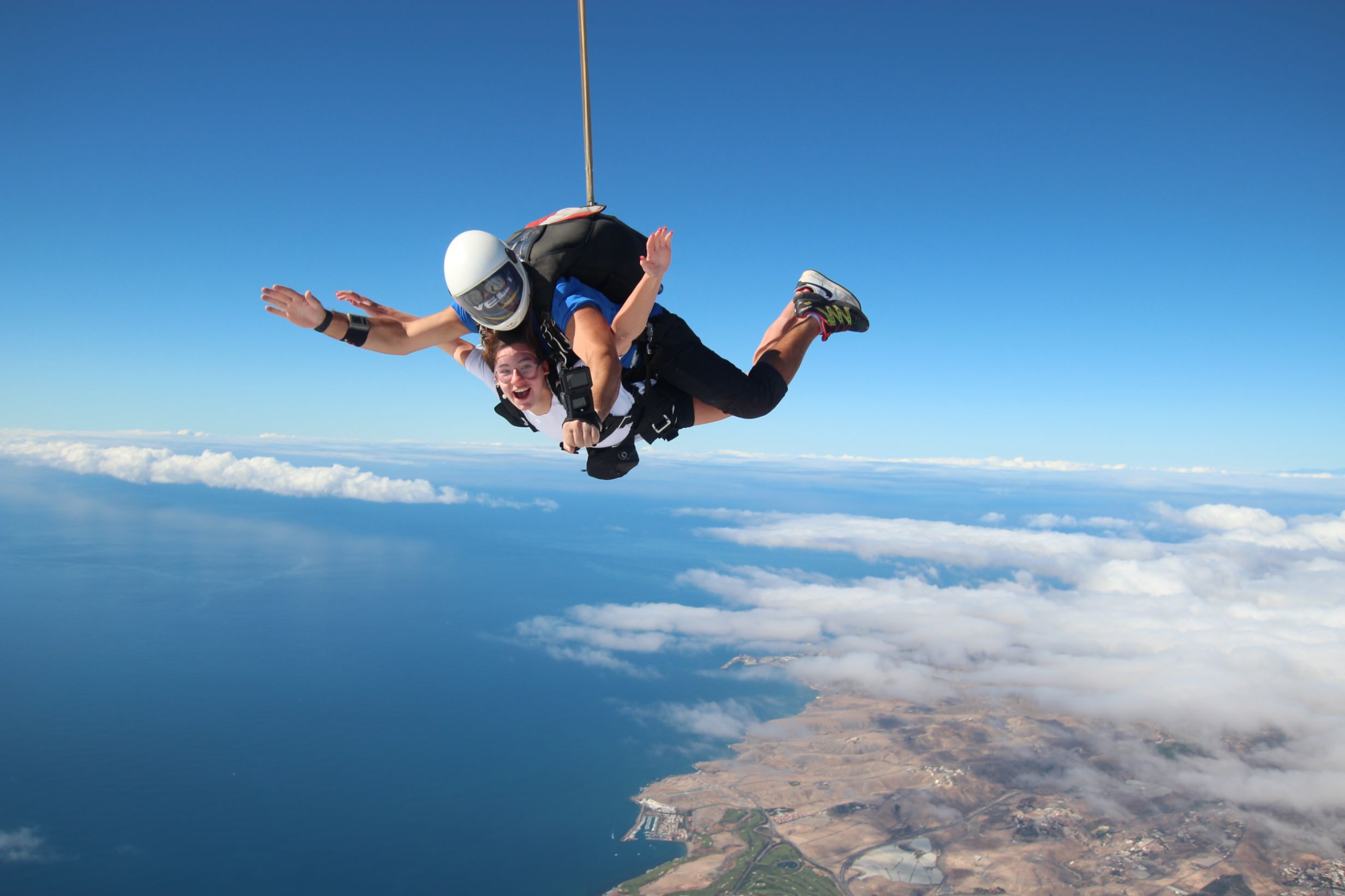
Skydiving  -  feel the rush

Forside 1
Europe's largest saltwater aquarium

Supercar forside 1Supercar GC  - Race and fun

Logo 3
Cardenas holiday homes

Engelsk miniature
The Scandinavian dental clinic

10-215x140
Cadido bus and taxi

Sioux City 1
Sioux City - Cowboy country for big and small

Fish on forside 03Sportfishing with "Fish on"

pluscar reservation 215x140
Pluscar, best and cheapest car hire.

Spirit of the sea 215

Spirit of the sea - Dolphin and Whale tour


Fly Gran Canaria 5
Fly Gran Canaria - Puerto Rico

Surtidor Forside
Cold and hot dishes, ready to take with you

Aqualand Maspalomas Forside 1
Waterpark Maspalomas for all ages.

Palmitos Park forside 1Amazing zoo, with dolphins.

This is happening in Gran Canaria

Calendar of local holidays in 2022, for the Canary Islands https://www.eldiario.es/canariasahora/sociedad/calendario-laboral-canarias-2022_1_8643616.html --- Remember you are not allowed to go topless in the cityscape, only on and around the beach - - - The local weather forecast can be found here https://www.eltiempo.es/playa-de-arguineguin.html If you type the city name in the search box, you will get the most local weather we have.. - - - If you need assistance for the disabled while you are in Gran Canaria, please contact Canariainfo. - - - If you need transport to or from the airport, we will get a price from our driver. - - - If you have an accident and need help in hospital or similar places, please contact Canariainfo. - - - Travel insurance for people over 70. www.rejseforsikringsguiden.dk - - - Cocodrilo Park in Aguimes is open Friday - Saturday and Sunday from 10:30 to 16:30 Entrance closes 15.30 - - - https://entrees.es/ Here you will find the schedule of the theatre in Vecindario for the rest of the year. Teatro Victor Jara is located between C.C.Atlanico and the main street, just off the Red Centre. Here you can download the bus schedule for the public buses "GuaguasGLOBAL" - - - Ryanair hires 2000 new pilots for new planes in the next 3 years - - - Football player David Silva takes over a vineyard in Gran Canaria - - - Did you know that there are 61 vineyards in Gran Canaria - - - From Monday the 15th of November and every Monday thereafter there is a market in Puerto de Mogan. it is at the Centro Sociocultural Los Marineros and it is from 09:00 to 14:00.This is what happens in Gran CanariaWelcome to our news
Cookies Information
This website uses cookies to ensure you get the best experience on our website.
All Cookies follows applicable laws, privacy policy.