Canaria info forside billede tekst

Hiking Route 1. Los Marteles Caldera - Rincón de Tenteniguada via El Salviar. Blue Tajinaste Routes

Starting point:
Los Marteles Caldera Altitude: 1529 m
Destination:
Rincón de Tenteniguada Altitude: 1043 m
Total Distance: 3470 m
Time to cover the Route: 1h. 30’
Direction of the Route: SW-NE
Net Difference in Altitude: 486 m
Difficulty rating: Low


logo turisticoThe route begins to the north of the Los Marteles Caldera and points in a SW-NE direction. Most of the route crosses the Los Marteles Special Nature Reserve.
The route’s difficulty rating is medium in rainy conditions, and low in the summer.
The views of the landscape make this footpath a unique experience, and hikers may also enjoy the geological landmarks and a rich diversity of plants and animals.

Point PO Start is located on the road, GC 130, behind the Los Marteles Caldera. This is where the route begins but, first, we will be able to enjoy the view of this caldera from a recent volcanic age, which resulted from a phreatomagmatic episode, i.e. an explosive mixture of water and lava.
The route leads along a forest trail to the left of the area known as “Orillones del Salviar”. Here, we will be crossing a humid mountain summit environment in a pine forest with undergrowth and with wild cherry trees on the sides of the track.
The ground is covered in Recent Cycle phreatomagmatic deposits from the eruptions of the Los Marteles Caldera. These are the basis for reforested pine stands (Pinus canariensis). Areas that are free from pine trees are covered in summit bushes, mainly yellow broom (Teline microphylla), accompanied by thyme (Micromeria benthamii), white sage (Sideritis dasygnaphala), Canary Island flatpod (Adenocarpus foliolosus), the summit Marguerite daisy (Argyranthemum adauctum canariensis), giant fennel (Ferula linkii).

After about 510 m. at point: P1 El Salviar caves, we shall reach a point of ethnographic interest. These caves were used by shepherds in the past to shelter their livestock.
Further on, the route forks, we shall pass a small ravine and walk along its left-hand bank. After exiting the pine forest, we shall come to a bend with a pond-cave; just before it, an access point to the right leads us to the footpath.

After 370 m. on P1, we shall come to P2 Beginning of the footpath. We are now entering “Blue Tajinaste” (Echium callithyrsum) territory, an endemic species from Gran Canaria that is quite abundant in Valsequillo. Together with the tajinaste, we must look for another unique local species, the “Cotton Thistle” (Onopordum carduelinum).
The combination formed by blue tajinaste and yellow broom colours the landscape. This rich flora attracts bees, wasps and bumble bees due to the honey-making nature of these species. These plants make excellent honey in an area where it is easy to see other invertebrates among the stones and plants.
This half-way point hosts an excellent population of blue tajinate plus a major collection of plants that make the Tenteniguada basin a privileged place to experience the botanical wealth of the island.

We shall continue for about 240 m. and, to our left, we shall come to a spring, point: P3 Spring. There is always life near water. The striking yellow flowers announce the choisy or marjoram (Hypericum grandifolium), endemic to the Macaronesian region. This section now leads through a shady area on the left banks at the head of the ravine. At the beginning of this stretch, we shall cross a valley that is part of the Roque Nublo Cycle, an intermediate stage in the formation of the island.
After about 300 metres, the Era Blanca (Threshing ground) appears as a natural viewpoint overlooking Valsequillo at point P4 Threshing ground-viewpoint.
At this point, we turn east and the surface of the route changes to basanitic flows from the Early Pleistocene. A few metres further on, we shall start to descend towards the north, passing through a small ravine below Roque Grande

After walking for approximately one kilometre, we shall reach point: P5 Base of Roque Grande. Roque Grande is a stunning formation, geologically defined as phonolite hauynite plugs belonging to the Pliocene. 
The vegetation now grows among the cliffs and is known as rock vegetation. Extremely varied, we can distinguish widespread veroles or bejeques (species of the family Crassulaceae), such as Aichryson laxum, Greenovia aurea, Aeonium spathulatum, Aeonium percarneum, Aeonium simsii, Aeonium manriquerum, Aeonium undulatum; the latter three are endemic to Gran Canaria. Tajinastes also abound, along with species that like moisture, such as the Canary Islands Nettle (Urtica morifolia).
We shall now start the descent down lapilli strewn hills. This is Pleito Hill, where we shall zig-zag down a slippery slope taking care not to fall. In spite of this, we must not lose sight of the rich flora surrounding us on the descent, like rock cabbage (Crambe pritzelii), endemic to Gran Canaria, or the bright flowers of the morgallana (Ranunculus cortusifolios). 
If we are attentive and the conditions are appropriate, we may see some wildlife; species like the buzzard (Buteo buteo insularum), a subspecies endemic to the Canary Islands, the common kestrel (Falco tinnunculus), the plain swift (Apus unicolor), and reptiles such as the Canary Island lizard (Gallotia stehlini), exclusive to the island, together with a wide range of invertebrates.

After about 780 m. at point: P6 End of footpath this botanical-geological footpath ends.
A concrete road will now take us to the end of the route, 310 metres further on, where a chestnut tree can be found at point: P7 End - Rincón de Tenteniguada. This stretch passes through an agricultural area where we will be able to see medium altitude plantations with a variety of fruit trees and traditional houses of ethnographic interest.

contentmap_plugin

Free Advice - Canariainfo

E-mail:
postmaster@canariainfo.com

Skype name:
canariainfo
Canariainfo Skype
Youtube channel:

Canariainfo - Youtube

We can help you with:

  • Quality hotel stays
  • The best restaurants
  • Reliable car renting
  • Guding you about the island’s attractions
  • Arranging fishingtrips
  • Setting up island trips
  • Biketrips and bikerenting
  • Kamelridning
  • And much much more…
See you in Gran Canaria!
  • Hiking Route 8.  Rincón de Tenteniguada - Roque la Vela - Rincón de Tenteniguada, Route of the Ravines. Blue Tajinaste Routes

    Hiking Route 8. Rincón de Tenteniguada - Roque la Vela - Rincón de Tenteniguada, Route of the Ravines. Blue Tajinaste Routes

    Hiking Route 8. Rincón de Tenteniguada - Roque la Vela - Rincón de Tenteniguada, Route of the Ravines. Blue Tajinaste Routes Starting point:Rincón de Tenteniguada Altitude: 970 mDestination:Rincón de Tenteniguada Altitude: 970 mTotal Distance: 2750 mTime to cover the Route: 1hr. 15’Direction of the route: NE-SW/W-E/S-NMaximum difference in altitude: 205 mDifficulty rating: Low Most of this circular route leads through the protected areas Read More
  • Hiking Route 7. Valsequillo - San Roque via Corona del Montañón

    Hiking Route 7. Valsequillo - San Roque via Corona del Montañón

    Hiking Route 7.  Valsequillo - San Roque via Corona del Montañón Starting point:Valsequillo Altitude: 580 mDestination:San Roque Altitude: 330 mTotal Distance: 9140 mTime to cover the Route: 3h. 30’Direction of the Route: SE-NW/W-EMaximum Difference in Altitude: 621 mDifficulty rating: Low This route is renowned for its ethnographic values related to traditional agricultural and livestock uses. In addition, the first section is Read More
  • Hiking Route 3. Cuevas Blancas Dam - Rincón de Tenteniguada via La Pasadera ravine. Blue Tajinaste Routes

    Hiking Route 3. Cuevas Blancas Dam - Rincón de Tenteniguada via La Pasadera ravine. Blue Tajinaste Routes

    Hiking Route 3.  Cuevas Blancas Dam - Rincón de Tenteniguada via La Pasadera ravine. Blue Tajinaste Routes Starting point:Cuevas Blancas Dam Altitude: 1665 mDestination:Rincón de Tenteniguada Altitude: 973 mTotal Distance: 3420 mTime to cover the Route: 2hr. 15’Direction of the Route: SW-NENet Difference in Altitude: 692 mDifficulty rating: Medium-low For the most part, this route crosses the Los Marteles Special Nature Read More
  • Hiking Route 2. Caldera de Los Marteles – Las Vegas via Los Cernícalos ravine

    Hiking Route 2. Caldera de Los Marteles – Las Vegas via Los Cernícalos ravine

    Hiking Route 2.  Caldera de Los Marteles – Las Vegas via Los Cernícalos ravine Starting pointLos Marteles Caldera Altitude: 1530 mDestination:Las Vegas Altitude: 620 mTotal distance: 9490 mTime to cover the Route: 4h. 30’Direction of the Route: W-ENet Difference in Altitude: 910 mDifficulty rating: Medium-high The route includes one of the most interesting areas of the Los Marteles Special Nature Reserve. Read More
  • Hiking Route 1. Los Marteles Caldera - Rincón de Tenteniguada via El Salviar. Blue Tajinaste Routes

    Hiking Route 1. Los Marteles Caldera - Rincón de Tenteniguada via El Salviar. Blue Tajinaste Routes

    Hiking Route 1. Los Marteles Caldera - Rincón de Tenteniguada via El Salviar. Blue Tajinaste Routes Starting point:Los Marteles Caldera Altitude: 1529 mDestination:Rincón de Tenteniguada Altitude: 1043 mTotal Distance: 3470 mTime to cover the Route: 1h. 30’Direction of the Route: SW-NENet Difference in Altitude: 486 mDifficulty rating: Low   The route begins to the north of the Los Marteles Caldera and Read More
  • Hiking Route 9.  Los Marteles Caldera - Tenteniguada via Los Alfaques. Blue Tajinaste Routes

    Hiking Route 9. Los Marteles Caldera - Tenteniguada via Los Alfaques. Blue Tajinaste Routes

    Hiking Route 9. Los Marteles Caldera - Tenteniguada via Los Alfaques. Blue Tajinaste Routes Los Marteles Caldera Altitude: 1529 mDestination:Tenteniguada Altitude: 767 mTotal Distance: 5880 mTime to cover the Route: 2hr. 15’Direction of the route: SW-NENet Difference in Altitude: 762 mDifficulty rating: Low                                           The route runs SW-NE and is classified as a low difficulty itinerary although it can be slippery in the Read More
  • Hiking Route 4. Cuevas Blancas Dam - Rincón de Tenteniguada via Roque Jincao. Blue Tajinaste Routes

    Hiking Route 4. Cuevas Blancas Dam - Rincón de Tenteniguada via Roque Jincao. Blue Tajinaste Routes

    Hiking Route 4.  Cuevas Blancas Dam - Rincón de Tenteniguada via Roque Jincao. Blue Tajinaste Routes Starting point:Cuevas Blancas Dam Altitude: 1665 mDestination:Rincón de Tenteniguada Altitude: 971 mTotal Distance: 5150 mTime to cover the Route: 2hr. 30’Direction of the Route: SW-NENet Difference in Altitude: 694 mDifficulty rating: Medium The scenic attractions of this route are determined by the fact that it Read More
  • Hiking Route 10. Tecén - Colmenar Bajo via San Miguel ravine

    Hiking Route 10. Tecén - Colmenar Bajo via San Miguel ravine

    Hiking Route 10. Tecén - Colmenar Bajo via San Miguel ravine Starting point: TecénDestination: Colmenar BajoTotal distance: 4930 mTime to cover the route: 2 h.Direction of the route: E-WNet difference in altitude: 253 mDifficulty rating: Low This route goes all along the San Miguel Ravine and connects to two other routes starting at the town of Valsequillo: route nº6 towards Las Read More
  • Hiking Route 5. Tenteniguada - Valsequillo

    Hiking Route 5. Tenteniguada - Valsequillo

    Hiking Route 5.  Tenteniguada - Valsequillo Starting point:Tenteniguada Altitude: 801 mDestination:Valsequillo Altitude: 538 mTotal Distance: 3060 mTime to cover the Route: 50-60 minutesDirection of the Route: W-ENet Difference in Altitude: 237 mDifficulty rating: Low This route is of huge cultural and ethnographic importance, as it has historically communicated the two main centres in the municipality. A glance at the cobbles on Read More
  • Hiking Route 6. Valsequillo - Las Vegas

    Hiking Route 6. Valsequillo - Las Vegas

    Hiking Route 6.  Valsequillo - Las Vegas Starting point:Valsequillo Altitude: 550 m Destination:Las Vegas Altitude: 612 mTotal Distance: 1890 mTime to cover the Route: 50minutesDirection of the Route: NE-SWMaximum Difference in Altitude: 141 mDifficulty rating: Low This is a route that formerly connected two traditional agricultural valleys, crossed by the San Miguel and Los Mocanes ravines. The surface is made up Read More
  • 1
  • 2
  • 3
  • 4
  • 5
  • 6
  • 7
  • 8
  • 9
  • 10

13 Udspring
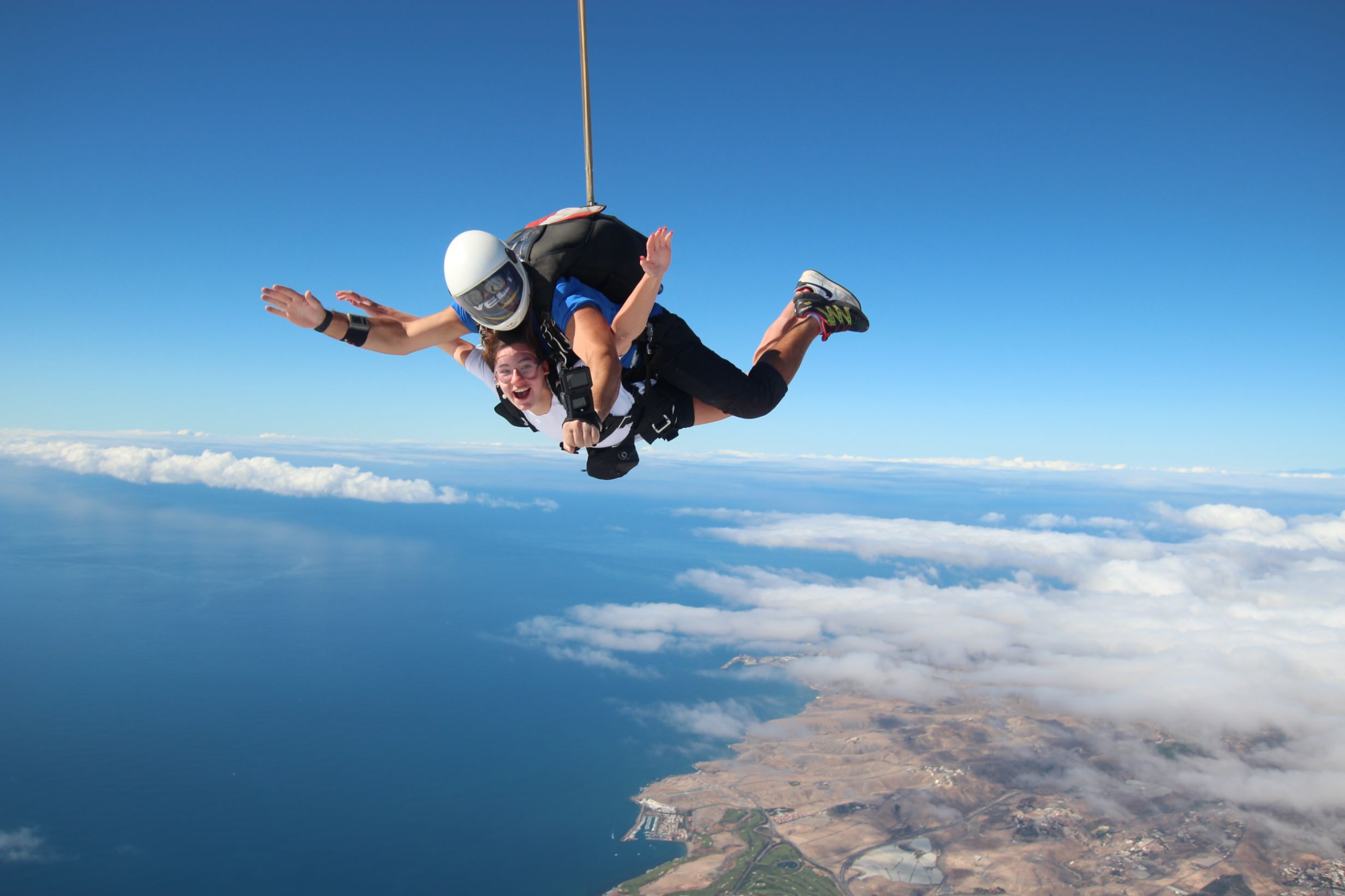
Skydiving  -  feel the rush

Forside 1
Europe's largest saltwater aquarium

Supercar forside 1Supercar GC  - Race and fun

Logo 3
Cardenas holiday homes

Engelsk miniature
The Scandinavian dental clinic

10-215x140
Cadido bus and taxi

Sioux City 1
Sioux City - Cowboy country for big and small

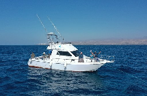
Fish on forside 03Sportfishing with "Fish on"

pluscar reservation 215x140
Pluscar, best and cheapest car hire.

Spirit of the sea 215

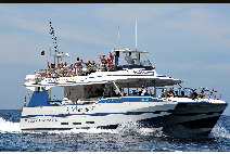
Spirit of the sea - Dolphin and Whale tour


Fly Gran Canaria 5
Fly Gran Canaria - Puerto Rico

Surtidor Forside
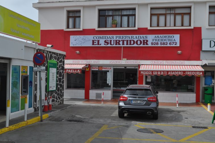
Cold and hot dishes, ready to take with you

Aqualand Maspalomas Forside 1
Waterpark Maspalomas for all ages.

Palmitos Park forside 1Amazing zoo, with dolphins.

This is happening in Gran Canaria

Calendar of local holidays in 2022, for the Canary Islands https://www.eldiario.es/canariasahora/sociedad/calendario-laboral-canarias-2022_1_8643616.html --- Remember you are not allowed to go topless in the cityscape, only on and around the beach - - - The local weather forecast can be found here https://www.eltiempo.es/playa-de-arguineguin.html If you type the city name in the search box, you will get the most local weather we have.. - - - If you need assistance for the disabled while you are in Gran Canaria, please contact Canariainfo. - - - If you need transport to or from the airport, we will get a price from our driver. - - - If you have an accident and need help in hospital or similar places, please contact Canariainfo. - - - Travel insurance for people over 70. www.rejseforsikringsguiden.dk - - - Cocodrilo Park in Aguimes is open Friday - Saturday and Sunday from 10:30 to 16:30 Entrance closes 15.30 - - - https://entrees.es/ Here you will find the schedule of the theatre in Vecindario for the rest of the year. Teatro Victor Jara is located between C.C.Atlanico and the main street, just off the Red Centre. Here you can download the bus schedule for the public buses "GuaguasGLOBAL" - - - Ryanair hires 2000 new pilots for new planes in the next 3 years - - - Football player David Silva takes over a vineyard in Gran Canaria - - - Did you know that there are 61 vineyards in Gran Canaria - - - From Monday the 15th of November and every Monday thereafter there is a market in Puerto de Mogan. it is at the Centro Sociocultural Los Marineros and it is from 09:00 to 14:00.This is what happens in Gran CanariaWelcome to our news
Cookies Information
This website uses cookies to ensure you get the best experience on our website.
All Cookies follows applicable laws, privacy policy.